 Originally contributed by Rebecca. Revised by Italia Mia; practical information checked September 30, 2026.
Walking in Italy can mean following vineyard paths between medieval towns, climbing stone steps above the Ligurian Sea, or circling limestone peaks in the Dolomites. The scenery changes dramatically, and so do the demands of the terrain.
These five destinations offer very different walking experiences. Some suit a short outing; others require a full day, mountain equipment, or an authorized guide. Choose a specific route before setting out, and check its current access conditions rather than assuming every famous trail is open.
Stromboli: Volcanic Scenery with Strict Access Rules
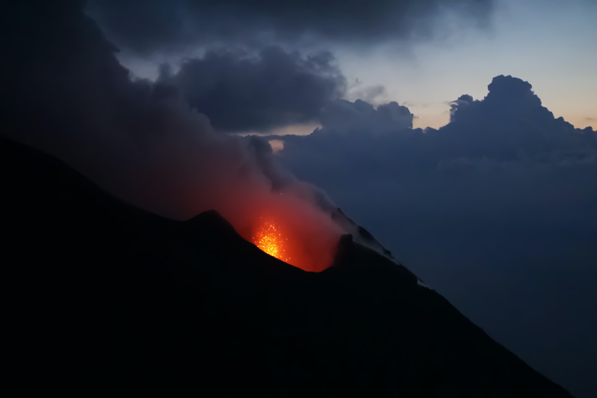
Stromboli rises from the Tyrrhenian Sea in Sicily’s Aeolian archipelago. Its volcanic landscape and views toward the Sciara del Fuoco make it a remarkable walking destination, but the island’s active volcano requires careful planning.
Do not plan a summit or crater hike. Local operator Magmatrek currently lists summit excursions as suspended and advertises guided walks reaching viewpoints at approximately 400 metres above sea level. Its published guidance allows independent walking up to 290 metres on the Stromboli side, subject to permitted routes and current restrictions.
Those figures are not a permanent guarantee of access. Lipari’s municipal ordinances determine where visitors may walk, and restrictions can change after volcanic activity, severe weather, or damage to paths. Ginostra has separate access provisions, so the limits for Stromboli village should not be applied to the other side of the island.
Before booking, ask an authorized volcanological or alpine guide to confirm the latest ordinance, permitted itinerary, maximum altitude, and equipment requirements. Consult the municipal ordinance archive hosted by INGV, together with local notices.
For timing, Magmatrek lists its 400-metre sunset excursion as approximately five hours and eight kilometres in total. That includes the broader excursion experience, rather than simply the uphill walking time. Bring proper hiking footwear, water, and a headlamp, and confirm what protective equipment the guide supplies.
Via Francigena: Walking Through Tuscany in Stages
The Via Francigena offers a different rhythm: country lanes, agricultural landscapes, village churches, and overnight stops in historic towns. In Tuscany, it is best approached as a sequence of individual stages rather than one vaguely defined walk through the countryside.
A rewarding shorter stage runs from Gambassi Terme to San Gimignano. Visit Tuscany lists it at approximately 13.3 kilometres, passing the sanctuary of Pancole and the parish church of Cellole before reaching the town’s distinctive towers.
As a practical planning estimate, allow roughly four to five hours including modest breaks, and longer if you stop to visit churches or take photographs. Your pace, the heat, and the condition of the ground will affect the day.
The preceding stage from San Miniato to Gambassi Terme is around 24 kilometres, making it a substantially longer undertaking. Walking onward toward Siena and San Quirico d’Orcia becomes a journey of several days, with accommodation and transport arrangements to consider.
Spring and autumn are sensible choices for this kind of walking. Carry sufficient water between settlements and use the current official route rather than improvising shortcuts along busy roads.
For the wider itinerary, see Italia Mia’s Via Francigena guide.
Cinque Terre: Choose Open Sections and Reserve the Via dell’Amore
The Cinque Terre landscape combines villages, terraced vineyards, dry-stone walls, and paths above the sea. However, there is no reliable basis for promising an uninterrupted walk through all five villages in three or four hours.
At the time of checking, the national park lists the direct coastal Manarola–Corniglia section, trail 592-2, as closed because of landslides. Higher routes are separate hikes with additional climbing; they should not be treated as equivalent replacements for the coastal path.
Two useful sections to consider, subject to the day’s conditions, are:
Corniglia to Vernazza: the park lists approximately 4.1 kilometres and 1 hour 30 minutes in this direction, or 1 hour 45 minutes in reverse.
Vernazza to Monterosso: approximately 3.7 kilometres and two hours in this direction, or 2 hours 15 minutes in reverse.
These are published walking times, so allow extra time for breaks, queues, heat, and village visits. Both routes involve steps and uneven terrain; the park currently classifies them for experienced hikers.
The Via dell’Amore between Riomaggiore and Manarola has its own visitor arrangements. The park’s current guidance requires a reservation, with ordinary visitors entering at Riomaggiore and walking one way toward Manarola. Allow approximately 30 minutes. Buying a card and reserving an entry slot are separate steps if you choose to book the slot later.
Use the official Cinque Terre Card portal to check the appropriate ticket and reservation options. Consult the park’s live trail network immediately before walking: closures, weather warnings, and temporary visitor controls can alter your plans.
A manageable approach is to walk one suitable section and use the train for the remaining villages.
Sentiero degli Dei: A Mountain Path Above the Amalfi Coast
The Sentiero degli Dei, or Path of the Gods, is famous for its elevated views along the Amalfi Coast. The usual starting point is Bomerano, a village within Agerola, with the walk continuing toward Nocelle above Positano.
This is a mountain trail with rocky footing and exposed sections. Agerola’s official description identifies different variants, including a lower route with exposed stretches. Comfortable city walking experience does not automatically prepare someone for this terrain.
For a relaxed Bomerano–Nocelle outing, a practical planning allowance is around three to four hours, depending on the chosen variant, fitness, and stops. Confirm the itinerary and current conditions locally before departure.
Nocelle is not Positano’s waterfront. Continuing down toward Arienzo involves a long staircase—approximately 1,700 steps in the municipal description—followed by further travel if you are heading into Positano. A beach visit therefore adds a substantial descent and should be planned separately.
Arrange your return transport before starting. Carry water, avoid the hottest part of the day, and reconsider the outing if thunderstorms, strong winds, or poor visibility are forecast.
Tre Cime di Lavaredo: A Specific Circuit in the Dolomites
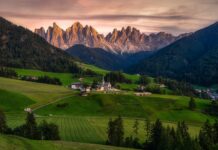
The Dolomites are a broad mountain region containing several protected areas. Their UNESCO World Heritage designation covers nine distinct mountain systems; it does not make the entire range one national park. Monte Pelmo belongs to the separate Pelmo–Croda da Lago system and is not a landmark on the Tre Cime circuit.
For a clearly defined day hike, consider the circuit starting at Rifugio Auronzo. The official Three Peaks tourism website lists its version at 8.8 kilometres, approximately four hours, and 550 metres of cumulative ascent. The route passes Rifugio Lavaredo and Forcella Lavaredo, with an option to visit Rifugio Locatelli before continuing around the peaks.
Allow additional time for hut stops and photographs. Although popular, the circuit remains a high-altitude walk on uneven ground. Snow, ice, wind, and sudden changes in visibility can make summer estimates inappropriate.
Vehicle access to the Rifugio Auronzo parking area currently requires a reservation through the official system. Seasonal buses provide another option, but their schedules and booking arrangements need checking for your travel date.
Consult Auronzo’s official access information before departure. For other areas, see Italia Mia’s summer mountain destinations guide.
Planning a Walking Day in Italy
Start with the route’s distance, total ascent, terrain, and return arrangements. A short path with steep steps or exposed ground can be more demanding than a longer country walk.
Published hiking times are estimates. Add time for rests, photography, meals, and slower sections, and leave enough daylight to finish comfortably.
Wear footwear with a secure grip, carry water and an extra layer, and download a reliable offline map. Follow marked routes and closure notices. For children or anyone uncomfortable with heights, choose an itinerary with suitable footing and a straightforward way to turn back.
Italy rewards walkers who leave room in their plans: for a village lunch, a quiet viewpoint, or an afternoon spent enjoying the destination after the hike.
Contributor Credit
Rebecca contributed the original article. A translator and enthusiastic traveller, she described her interests as books, horror films, and writing about places encountered through her travels. Her original contributor biography referenced Rough Draft.
This revised edition preserves her contribution while updating the practical guidance.
External Sources
INGV: Lipari municipal ordinances for Stromboli
Magmatrek: Stromboli excursions and equipment
Visit Tuscany: Via Francigena stages
Cinque Terre National Park: trail conditions
Cinque Terre National Park: current Via dell’Amore visitor arrangements
Comune di Agerola: Sentiero degli Dei
Three Peaks tourism: Tre Cime circular walk
Auronzo: access to Tre Cime di Lavaredo
Dolomites UNESCO Foundation: the nine mountain systems